
Introduction: A Park That Refuses to Sit Still
Tourists stroll Yellowstone National Park’s boardwalks, snapping pictures of bison, geysers, and pastel hot springs. However, the ground inches higher each year. Instruments show wide areas of the park have lifted by dozens of centimeters since the early 2000s. For a continent-sized volcano, that subtle bulge resembles a muscle flex. Geologists ponder one question: Why now?
The Science of Uplift: Magma, Water, and Moving Rock
Volcanoes breathe. Magma intrudes, heats groundwater, builds pressure, and the crust tilts or lifts. In Yellowstone, a vast caldera—formed by past mega-eruptions—serves as a loose lid on a simmering pot. Satellite radar, particularly InSAR, maps these motions with millimeter accuracy. A quick dive into independent data archives shows uplift pulses appear as bullseye patterns, each ring indicating a height change.
Not every bulge signals doomsday. Seasonal snow load, shifts in hydrothermal systems, or deep earthquakes can also warp the surface. Scientists cross-check uplift patterns with gas emissions, seismic swarms, and thermal output to decipher the true cause. Current uplift centers near the Mallard Lake and Sour Creek resurgent domes—historic hot spots for magma recharge.
Tools Watching the Monster
GPS Arrays. Permanent stations beam real-time positions to labs worldwide. If the ground moves by a millimeter, the constellation notes it.
Seismometers. Hundreds of sensors record every fracture. Clusters of tiny quakes, called swarms, often coincide with uplift and indicate fluid movement in the crust.
Gas Monitors. Fumaroles emit carbon dioxide and sulfur. Spikes in CO2 suggest fresh magma degassing below.
Thermal Cameras. Satellites assess surface temperature. Unusual heat patches may reveal new hydrothermal pathways.
Historical Context: Three Blasts That Shaped a Continent
Yellowstone’s super-eruptive history includes events 2.1 million, 1.3 million, and 640,000 years ago. Each event excavated craters dozens of kilometers wide and blanketed half the continent in ash. According to public geological records, the last eruption expelled 1,000 cubic kilometers of magma—sufficient to bury Texas in a meter of volcanic glass. Between mega-blasts, the volcano vents through lava flows and hydrothermal explosions. Uplift often precedes these modest eruptions, not just the apocalyptic ones that capture headlines.
Recent lava flows date to about 70,000 years ago, suggesting Yellowstone’s periodic relief valve may still function. However, the current uplift rate appears brisk compared to many past decades, sparking debate about how close the system is to its next eruption.
What the Numbers Say—and What They Don’t
Survey markers near Norris Geyser Basin rose nearly 9 centimeters between 2015 and 2021. That average of 1.5 centimeters per year outpaces geologic background rates but remains small on a human scale. Skeptics may argue such motion barely registers outside the lab. Supporters of the precautionary principle claim that rate matters more than absolute height because rapid deformation stresses crustal faults.
Peer-reviewed models estimate magma intrusion driving current uplift at roughly 0.1 cubic kilometers—a puddle compared to the caldera’s total reservoir. Still, if that volume arrives quickly, pressure spikes could fracture brittle rock and accelerate gas release.
Comparisons With Other Restless Giants
Researchers benchmark Yellowstone against volcanic systems in Alaska, Iceland, and Italy. Data from satellite case studies reveal that uplift rates at Campi Flegrei near Naples sometimes exceed Yellowstone’s, yet the Italian caldera has not seen a super-eruption in 15,000 years. Conversely, Alaska’s Okmok Volcano experienced notable uplift just months before its 2008 eruption. The takeaway: uplift alone cannot predict the type of eruption, only that subterranean forces are evolving.
Yellowstone’s deep reservoir may buffer pressure differently than smaller cones. This complexity fuels both caution and uncertainty.
Risk Scenarios: From Steamy Geysers to Global Winter
Hydrothermal Blast — A pocket of steam bursts, hurling mud and rock. These events occur every few hundred years; the last significant one formed Mary Bay 13,000 years ago.
Lava Flow — Basalt flows along vent lines, threatening park infrastructure but sparing distant towns.
Sub-Plinian Eruption — A tall ash column disrupts regional flights, similar to the 2010 Eyjafjallajökull event.
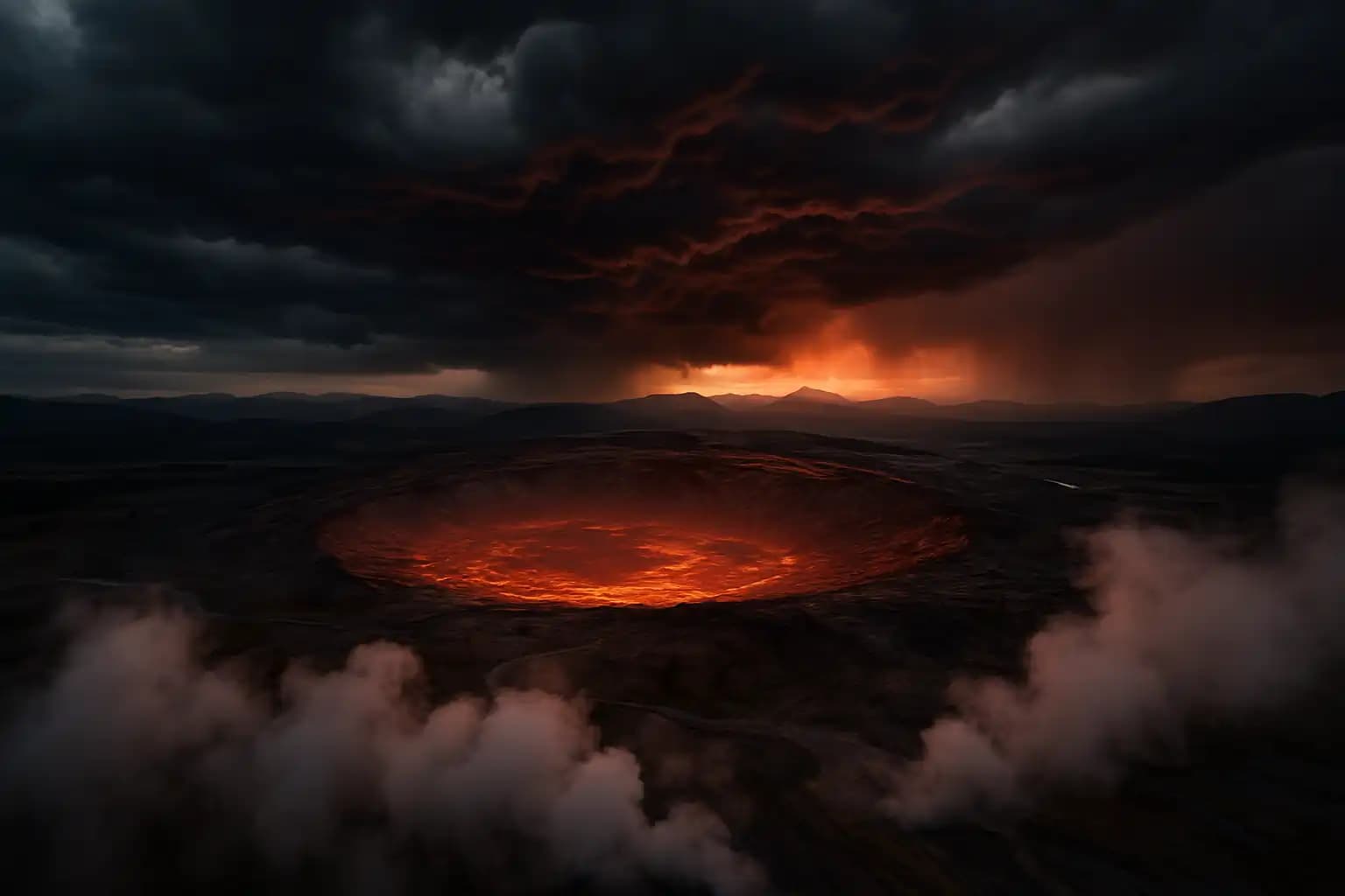
Super-eruption — The doomsday model sends ash across continents, cools global temperatures, and disrupts agriculture. Though sensational, studies accessed via probability analyses estimate annual odds at less than 0.00014%.
Cascading Effects on Modern Society
An eruption—even a moderate one—could darken skies over the Midwest, jam I-90 with evacuees, and knock out power stations as ash shorts transformers. Supply chains strained by geopolitics, as noted in regional reports, would face new chaos. Airports from Denver to Chicago might close, disrupting global cargo routes. Farm belts downwind risk crop losses if ash smothers leaves during the growing season.
Long-term scenarios investigate how volcanic aerosols might alter monsoon systems, echoing climate discussions like plasma-shield analyses. Scientists emphasize that robust forecasting and layered preparedness plans can mitigate chaos.
Preparedness: What Authorities and Citizens Can Do
Early Warning Systems. The Yellowstone Volcano Observatory (YVO) posts weekly updates. Agencies coordinate ash-dispersion modeling drills with the FAA and NWS.
Infrastructure Hardening. Utility companies in the Rocky Mountain corridor test filtration systems to prevent gas turbines from ingesting abrasive ash. Some lessons reflect grid vulnerability studies summarized in technical briefings.
Community Resilience. Households can stock N95 masks, plastic sheeting, and spare air filters. Farmers might plan alternate irrigation if surface water turns alkaline from volcanic chemicals.
Communication Plans. Text alerts and ham radio networks provide redundancy. During ashfall, fiber lines may endure better than overhead cables.
The Role of Ongoing Research
Scientists drill boreholes to sample hot water, fly drones into geyser plumes, and use supercomputers to simulate magma movement. Funding often spikes when headlines scream “supervolcano,” then wanes, leaving critical datasets incomplete. Advocates argue that steady support, not panic cycles, best protects society.
Final Thoughts: Rising Ground, Rising Questions
Yellowstone’s uplift reminds us that the planet is dynamic and sometimes untamable. While the chance of a civilization-ending eruption this century remains low, the consequences warrant vigilance. Continuous monitoring, public education, and resilient infrastructure can transform fear into informed readiness.
For eclectic, real-time updates that often bypass mainstream filters, bookmark Unexplained.co. Until the next GPS reading arrives, the park’s meadows will keep rising—millimeter by millimeter—whispering subterranean secrets beneath tourist chatter.