

Key Takeaways
- Many viral “underwater structure” claims come from low-resolution public maps that can produce geometric illusions or interpolation artifacts rather than real constructions.
- Modern multibeam surveys provide high-resolution, verifiable bathymetry, but as of Seabed 2030’s 2024 reporting only roughly 26.1% of the seafloor has been mapped to those standards—leaving large areas reliant on coarser satellite gravity data.
- Some dramatic features discovered by multibeam (for example, tall seamounts) are genuine; other alleged structures lack multibeam or visual ground-truth and remain unresolved.
A Silent Convoy Beneath the Dark Sea
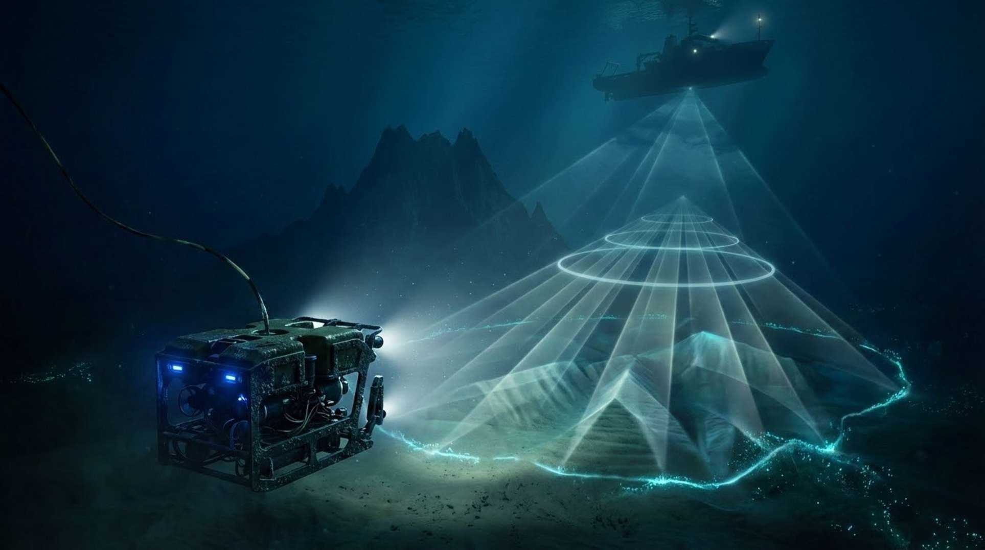
Vast stretches of the ocean floor remain poorly charted. When coarse grids are visualized with hillshading, they can suggest walls, pyramids, or other orderly shapes. Occasionally surveys reveal true surprises—seamounts and canyons that were previously unknown. The 2005 USS San Francisco collision with an uncharted seamount is a reminder that mapping gaps have real consequences.
What Witnesses and Analysts Report
Community researchers and content creators frequently post coordinates and annotated screenshots from public layers (GEBCO, ETOPO). These posts often mix data types and use visual shading that amplifies perceived geometry. Skeptics point to pareidolia and dataset artifacts; proponents push for follow-up surveys and ROV inspection. Both sides are limited by available data and funding for verification.
Timelines, Tracks, and Hard Data
Seabed 2030 coordinates a global effort to map the seafloor by decade’s end and reported about 26.1% coverage to modern multibeam standards in 2024. Large additions to the global grid occur when research vessels and institutions release multibeam surveys—the Schmidt Ocean Institute and national hydrographic offices regularly publish such data. In many regions, however, bathymetry is inferred from satellite gravity at resolutions on the order of kilometers, which can create interpolation artifacts not present in true sonar scans.
Official Story vs. Community Interpretations
Organizations like GEBCO and NOAA emphasize the difference between directly measured multibeam bathymetry and gravity-derived interpolations. Official archives and metadata can usually tell you whether a feature is supported by multibeam data or is gravity-inferred. Fact-checks frequently find that viral claims rely on the coarser layers; conversely, when multibeam is present it often reveals natural geological processes rather than artificial structures.
What It All Might Mean
Improving bathymetric coverage is important for navigation safety, scientific discovery, biodiversity assessment, and resource management. While many viral shapes prove to be artifacts, continued mapping will resolve outstanding cases—either confirming interesting geology or closing the book on false positives. Community-led reporting can help prioritize follow-up surveys when coordinates are accompanied by reliable metadata.
How to Verify an Alleged Underwater Structure
- Collect the claimed coordinates and any original KMZ/KML or images cited by the claim.
- Check the underlying dataset and metadata (GEBCO, NOAA NCEI, national hydrographic offices, Seabed 2030). Determine whether the grid is multibeam-derived or gravity-inferred.
- Search for published multibeam surveys, expedition logs, or ROV/video evidence for that area.
- If only low-resolution gravity data is present, flag the claim as unverified and annotate likely artifacts (seams, interpolation, coarse shading).
- When multibeam supports a feature, seek photographic or sampling ground-truth; absent that, treat interpretations cautiously.
- For high-priority cases, contact data-holding institutions or Seabed 2030 to request follow-up, understanding that research-vessel time is limited and costly.
FAQ
- What percentage of the seafloor is mapped to modern standards?
- Seabed 2030 reported roughly 26.1% coverage by modern multibeam surveys as of 2024; the remainder often relies on satellite gravity-derived models.
- Are viral underwater structures real?
- Some spectacular features shown by multibeam are real geological formations. Many viral claims, however, arise from low-resolution datasets that produce artifacts. Each claim must be checked against metadata and, ideally, multibeam or visual ground-truth.
- What was the USS San Francisco incident?
- On January 8, 2005, the USS San Francisco struck an uncharted seamount roughly 364 nautical miles southeast of Guam. The event underscores risks from incomplete bathymetric knowledge.