

Key Takeaways
- Proponents claim the Azores Plateau could be a remnant of Atlantis, fitting Plato’s descriptions, with catastrophic events around 12,900 years ago causing its submergence.
- Hard data from surveys show the plateau on the Mid-Atlantic Ridge with dramatic bathymetric features, including steps over 1,500 meters and depths from 715 to 3,700 meters, shaped by volcanic and tectonic forces.
- Unresolved questions linger: mainstream geology sees hotspot-ridge volcanism, not a lost continent; the Younger Dryas impact idea remains contested, and no solid archaeological evidence backs an advanced civilization there.
A Quiet Continent Under a Loud Ocean
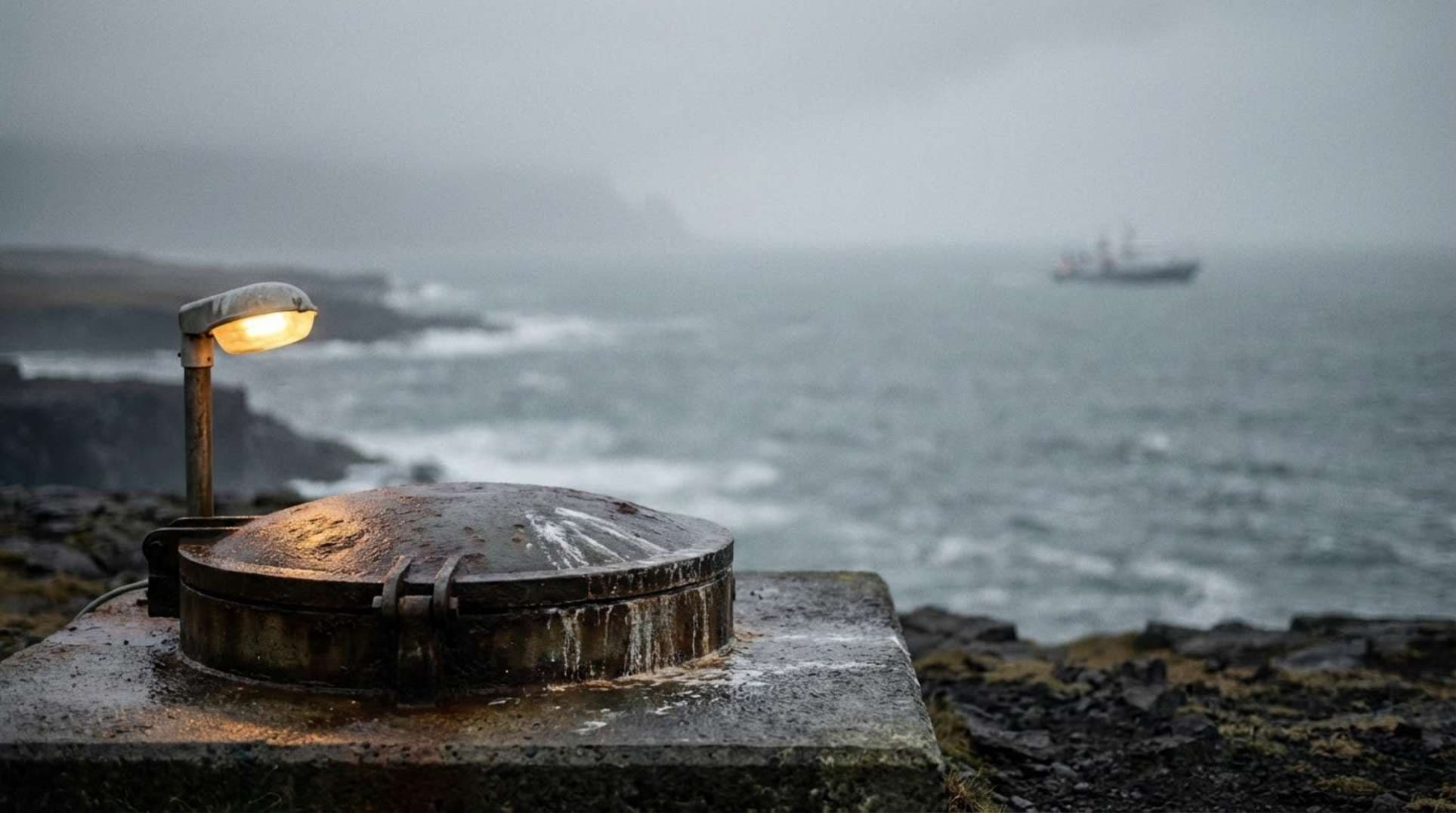
Imagine the salt spray cutting through the air as a research vessel pitches over dark waves. Below, black basalt cliffs rise from the abyss, illuminated by ROV floodlights that pierce the cold, endless blue. Echo soundings stitch together maps of a hidden world—rugged seafloor, volcanic chimneys venting heat, seamounts looming like forgotten sentinels. This is the Azores Plateau, a vast submarine expanse straddling the Mid-Atlantic Ridge, dotted with islands and undersea peaks recognized by UNESCO.
The pull of a lost realm in the Atlantic endures. Shadows on these maps can mimic ancient structures, especially when light hits at strange angles. Yet marine science urges caution: what looks like ruins often proves to be natural volcanic outcrops, twisted by tectonics. Still, the romance persists—could something more lie buried under that loud, churning ocean?
What Witnesses and Analysts Report
Voices from the edges of accepted history keep the Azores-Atlantis link alive. Figures like Graham Hancock and Randall Carlson point to the plateau as a prime candidate for Plato’s sunken empire, tying it to massive disruptions at the end of the last ice age. They cite Plato’s accounts of a vast island in the Atlantic, destroyed in a day and night of catastrophe.
Claims build on bathymetric maps showing what some see as terraces or straight-edged blocks—signs of old shorelines or even artificial forms. Models suggest rapid subsidence or sea-level surges around the Younger Dryas could have drowned large land areas. Online, in forums and podcasts, these ideas spread through shared images and reconstructions. High-contrast seafloor shots fuel discussions, with users interpreting shapes as potential evidence, though often without direct sampling or digs to confirm.
These reports come from careful observers, not wild speculation. They amplify patterns in data that official channels sometimes overlook, urging a closer look at what might have been lost.
Timelines, Tracks, and Hard Data
Let’s ground this in what’s verifiable. The Azores Plateau sits atop the Mid-Atlantic Ridge, as detailed in UNESCO records, with islands and seamounts marking its extent. Bathymetric studies, like those from Gente et al. in 2003, describe it bounded by sharp elevation drops exceeding 1,500 meters on its flanks.
High-resolution work adds clarity. The EXPLOSEA2 cruise covered about 6,250 kilometers of multibeam bathymetry, mapping morphology and tectonics. Recent efforts, including ROV dives, build on this, with depths in Mid-Atlantic Ridge segments ranging from 715 meters to 3,700 meters, per Journal of Maps studies.
Tectonics here move at around 20 millimeters per year, driven by hotspot-ridge interactions that thicken crust and fuel volcanism, according to ScienceDirect 2022 and Springer 2023 summaries. The Younger Dryas cold snap ran from about 12,900 to 11,700 years before present, but its impact hypothesis faces strong challenges in 2021 reviews and beyond. No accepted archaeology points to an advanced society on the plateau then.
For quick reference, here’s a comparison of key metrics:
| Metric | Value | Source |
|---|---|---|
| Younger Dryas Interval | ~12,900–11,700 ka BP | 2021 Reviews |
| Bathymetric Step | >1,500 m | Gente et al. (2003) |
| EXPLOSEA2 Multibeam Length | ~6,250 km | EXPLOSEA2 Cruise Reports |
| Mapped Depth Range | ~715 m to ~3,700 m | Journal of Maps Study |
| Spreading Rate | ~20 mm/year | UNESCO Summary |
| Seismic Monitoring Years | Miocene to Recent | ScienceDirect 2022; Springer 2023 |
Official Story vs. What the Data Suggests
Mainstream geology paints the Azores as a hotspot meeting a spreading ridge, with volcanism from the Miocene onward shaping the plateau. Papers in ScienceDirect 2022, Springer 2023, and AGU/Wiley 2003 reject any notion of a submerged continental block from the late Pleistocene. They stress ongoing tectonics and eruptions, not sudden continental loss.
Yet both sides draw from the same well—multibeam data like EXPLOSEA2 and seismic profiles. Proponents spot terraces and blocky forms as hints of ancient exposure or collapse, possibly tied to catastrophic subsidence. Officials attribute them to volcanic flows and faulting.
The Younger Dryas debate sharpens the divide. Community narratives lean on a disputed impact event for the quick changes, while science favors meltwater shifts or ocean circulation tweaks. Factors like glacial rebound, volcanic loading, and block movements complicate paleo-depth models. Uncertainties persist, demanding more precise data to bridge the gap.
What It All Might Mean
The Azores Plateau stands as a tangible, intricate feature, richly mapped with volcanic ridges and tectonic scars. High-res surveys reveal its drama, but tie it firmly to natural processes.
Evidence falls short on key fronts—no confirmed artifacts or dated shorelines prove an advanced culture there during the late Pleistocene. Subsidence ideas hold potential, but uncertainties cloud them without fresh samples.
Questions remain: Could sections have been above water or much shallower back then, beyond isostatic and volcanic influences? Does geology show signs of fast, disaster-scale sinking? Might odd bathymetric spots hold datable cultural traces?
To test this, focus on targeted work: coring at terrace edges, ROV scans of suspect areas, dating any exposed soils or peats, and better subsidence models. If needed, we can source annotated maps or sketch a field plan to push things forward.
Frequently Asked Questions
Proponents point to bathymetric features like terraces and blocky shapes as possible signs of submerged land, linked to Plato’s accounts and Younger Dryas events. However, mainstream data interpret these as volcanic and tectonic formations, with no accepted archaeological finds supporting an advanced civilization.
Some narratives tie Atlantis’s fall to catastrophic events around 12,900 years ago, during the Younger Dryas cold snap, possibly from an impact. This hypothesis is contested, with science favoring other causes like meltwater changes, and it underpins claims of rapid subsidence in the Azores.
Officials see the plateau as a result of hotspot-ridge volcanism and tectonics, without evidence of a lost continent. Communities read the same maps as hints of ancient structures or shorelines, amplified online, but both rely on surveys like multibeam bathymetry.
Targeted sediment cores, ROV inspections of anomalies, dating of potential paleosols, and refined modeling of past depths could clarify if parts were emergent or hold cultural material. These steps would test subsidence claims and search for direct evidence.
Campaigns like EXPLOSEA2 have covered thousands of kilometers with multibeam, revealing depths from 715 to 3,700 meters and features like 1,500-meter steps. While well-studied, uncertainties remain in paleo-reconstructions, leaving room for further investigation.